

Layered Map Roads Disappear After Cutting: Lock Engrave-and-Cut Order
Lock each map feature to an operation before duplicating layers. Roads intended as surface detail stay separate from cut boundaries and registration marks.

A map layer can have three different jobs
An open-source map tool discussion describes layered SVG workflows with separate road engraving and duplicated cut layers. The recent maker discussion preserves the original context.
Build an operation-state map
| Feature | Operation state | Registration need | Failure if confused |
|---|---|---|---|
| roads | engrave/detail | align to top layer | detail disappears or cuts through |
| coastline | cut boundary | align all stacked layers | shape mismatch |
| water fill | engrave or separate layer | visual registration | muddy tone |
| witness mark | non-finished setup aid | remove or hide by plan | visible artifact |
Preview roads before duplicating cut shapes
- Name every source layer by visual role before assigning machine operations.
- Keep one master geometry state and document which duplicates become cut-only backing layers.
- Use no-output preview to confirm road detail is not assigned to the cut color.
- Proof a representative corner only on eligible material with active supervision, effective exhaust, fire readiness, and immediate stop conditions.
Why a road layer vanished after assembly
Duplicating a continent outline for three depth layers is useful, but duplicating the road layer into every backing sheet wastes time and can create unwanted marks. The operation-state map prevents that copy from becoming automatic.
Validate imported dimensions with the reference-square audit. If the finished map must travel in sections, use the shipping-seam exclusions before duplicating layers.
X1S 2026 fit for layered maps
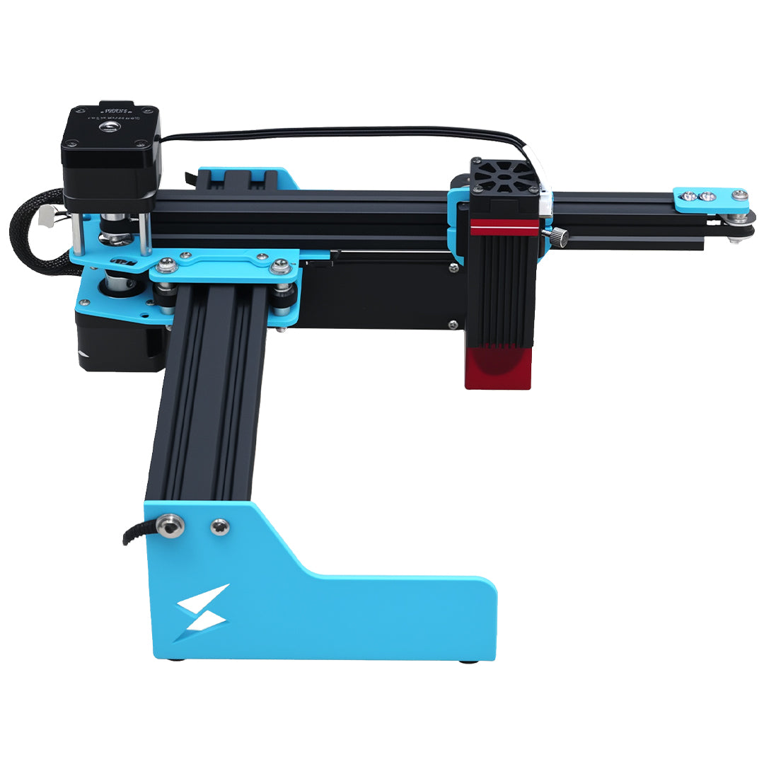
The large-format workspace helps arrange map layers, while operation assignment, registration, material eligibility, finishing, and accepted road detail remain file and process decisions. Plan layer scale from the X1S 2026 workspace details, not from an assumption that every feature will survive.
Map-file questions
Should roads be vectors or raster imagery?
Either may work; choose based on the intended detail and preview, then prove a representative sample.
Can color alone control the operation?
Color is only reliable when the file's layer rules are explicit and reviewed.
Do large dimensions guarantee road detail?
No. Work area and feature resolution are different questions.